Global Presence
- Professional Survey Engineering Consultancy LLC
- P.O. Box: 132972, Abu Dhabi – UAE
- Email: info@professional-surveys.com
Tel: +971 2 5501090Fax: +971 2 5501090Mob: +971 50 3213022
- Enquire Now
What is GPS , what is its use in Land Survey?
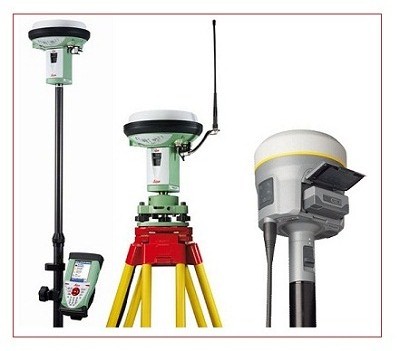
GPS stands for global positioning system, and it uses signals from satellites to pinpoint a location on the Earth’s surface. In addition to transmitting information about location, GPS can provide data about velocity and time synchronization for various forms of travel. GPS uses at least 24 separate satellites in a system that consists of six Earth-centered orbital planes, each having four satellites.
When used by skilled professionals, GPS provides surveying and mapping data of the highest accuracy. GPS-based data collection is much faster than conventional surveying and mapping techniques, reducing the amount of equipment and labor required.
How GPS Surveys are used in Land Surveys?
GPS (Global Positioning System) Surveying is the most advanced positioning and data recording technology available to the Land Surveyor today. Using available Satellites (Minimum 4), the Receivers record satellite signals and internal receiver software, sub-centimeter accurate horizontal and vertical positioning data is provided about any point or feature. This data can be related either to the National Grid Co-ordinate system or to your project’s own Local Grid.