Our Services
We provide an extensive array of survey engineering services to cater to your specific project requirements. Our services encompass topographic surveys, hydrographic surveys, as-built surveys, demarcation and boundary surveys, GPS surveying, pipeline surveys, survey equipment rentals, 3D laser scanning, ground-penetrating radar (GPR) assessments, gate-level computation fixing surveys, digital terrain modeling (DTM), check surveys, measured building surveys, monitoring surveys, update surveys, and comprehensive GIS data collection. Our experienced team employs cutting-edge technology and a commitment to precision, ensuring that your projects benefit from accurate and dependable survey data.
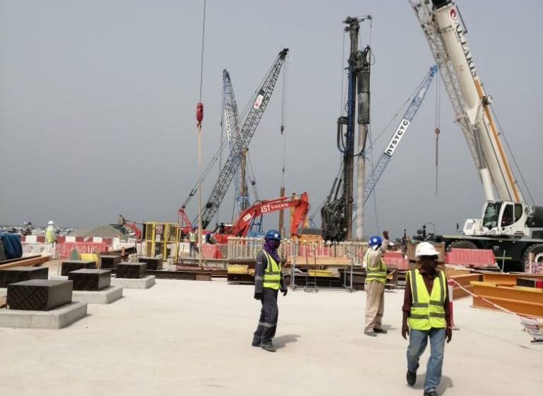
Hydrographic Survey
Professional Surveys is a trusted leading hydrographic and bathymetric survey companies in UAE. Our surveyors have access...
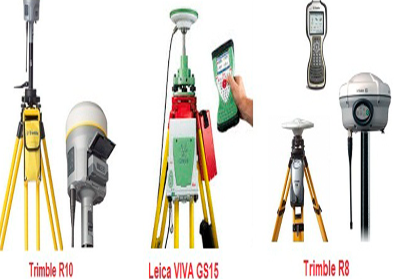
Survey Equipment Rental Services
Professional Survey Engineering Consultancy L.L.C. offers a variety of survey equipment rentals in UAE. GPS survey equipment...
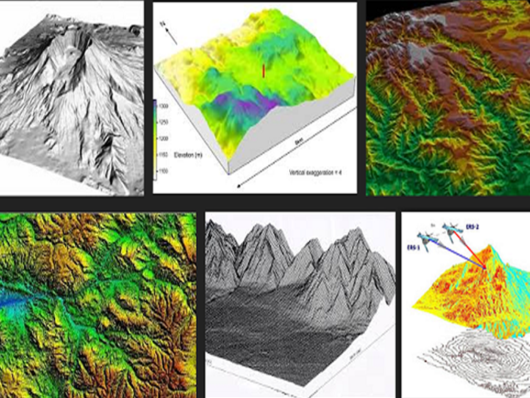
Digital Terrain Modeling (DTM)
Our topographical surveys are surveyed in 3D. Therefore in addition to providing contoured plans, we are able to provide 3D...
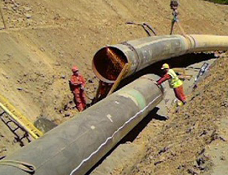
Pipe Line Surveys
Professional Survey Engineering Consultancy LLC has extensive experience surveying oil and gas pipelines. Whether it is a small...
Check Surveys
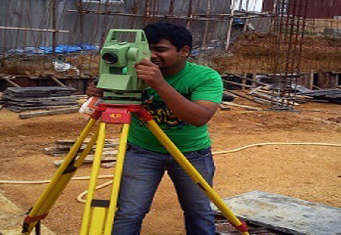
We can carry out check surveys at various stages of construction, as an independent check, if required. This could be...
Measured Building Surveys
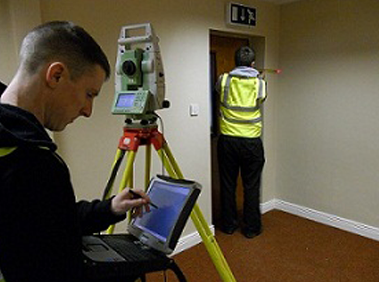
A measured building survey is an accurate representation of your building, which shows all the structural elements and architectural features...
Demarcation and Boundary Surveys
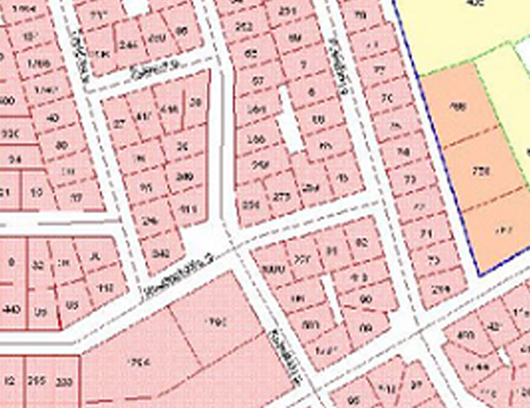
Professional Survey is a licensed surveyor to offer Demarcation and Boundary Survey Services in UAE and Middle East. Whether...
Monitoring Surveys
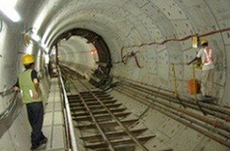
We undertake monitoring surveys to identify movement or deformation in any environment using precise digital levels, movement detectors, precision survey...
Update Surveys
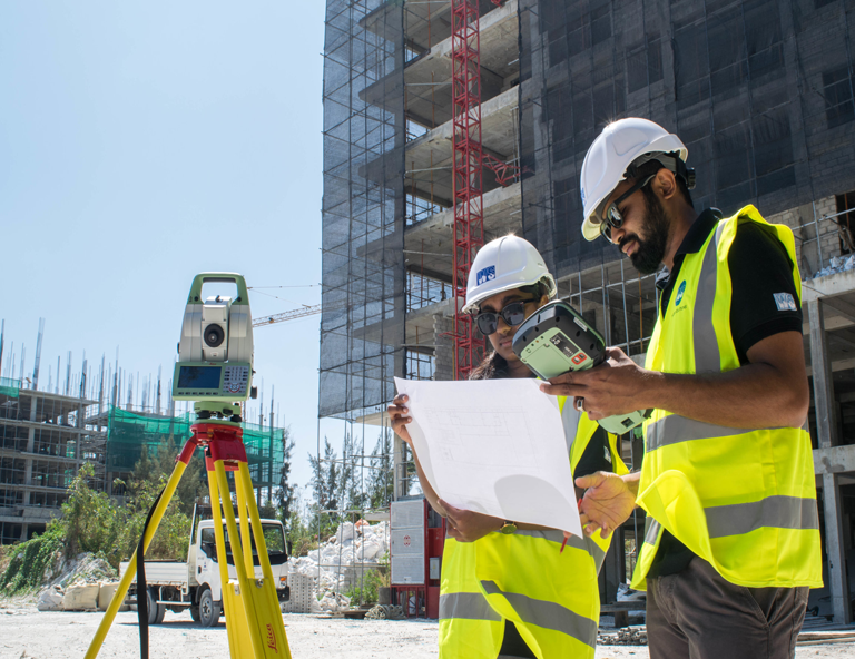
We can return to site and update surveys to reflect subsequent changes as and when required. When carrying out topographical...

Gate Level Computation Fixing Surveys
Gate Level Computation surveys estimate the gate level of a target plot in comparison to the nearest road or ground...
As-Built Survey Services
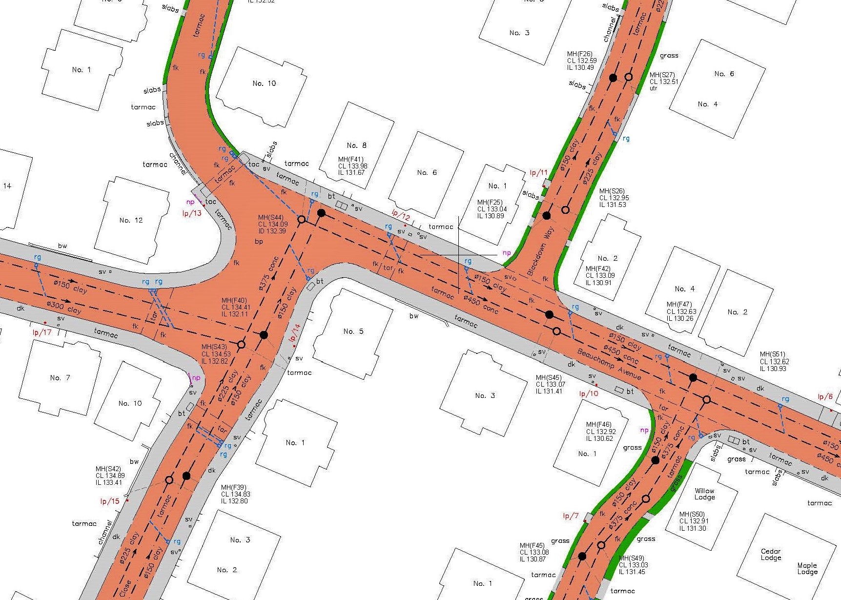
At professional surveys we have highly experienced and expert team of land surveyors to carry out as-built survey. We have...
GIS Data Collection
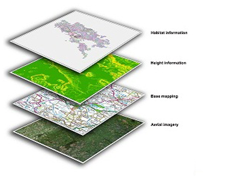
GIS software adds intelligence to spatial data, whether the data is generated in the field with GPS location or remotely with the place...
GPS Surveying
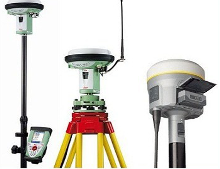
What is GPS , what is its use in Land Survey? GPS stands for global positioning system, and it uses...
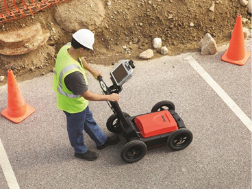
GROUND PENETRATING RADAR (GPR)
Radiodetection techniques are unable to detect non-metallic buried services such as plastic water and gas pipes, fibre-optics and drainage pipes...
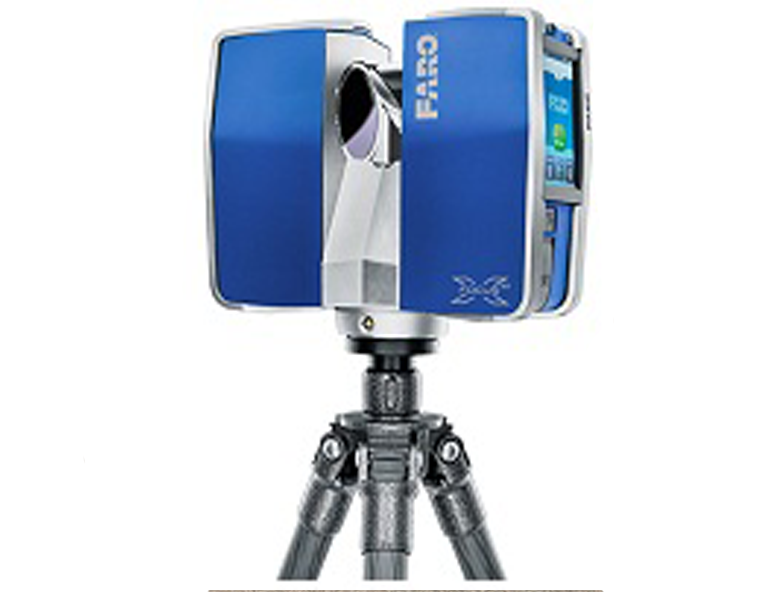
3D Laser Scanning
Our high definition 3D digital capture techniques gather a large amount of field information in a very short period of...
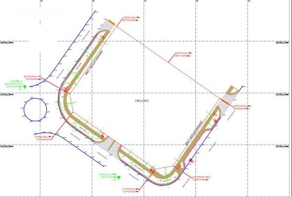
Topographic Survey
Professional Survey Engineering Consultancy L.L.C. is one of the best land survey and geophysical survey companies in UAE offering cost-effective...
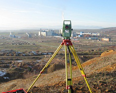
Engineering Surveying
At Professional Survey Facility we have a background in design engineering, contracting and civil engineering projects, giving us a detailed understanding...
A strong experience in Survey
- Our History
- Our Mission
- Our Vision
Professional Surveys was founded with a vision to deliver exceptional survey engineering services, setting the industry standard for accuracy, innovation, and client satisfaction. With a history spanning 8 years, we have steadily grown our expertise and clientele, becoming a trusted name in the field of surveying.
Our mission is to provide our clients with precise, reliable, and cost-effective surveying solutions. We are committed to helping our clients make informed decisions by delivering accurate data and exceptional service.
To be among the leading one-stop engineering survey company offering accurate survey solutions in UAE and Middle East.
