
Global Presence
- Professional Survey Engineering Consultancy LLC
- P.O. Box: 132972, Abu Dhabi – UAE
- Email: info@professional-surveys.com
Tel: +971 2 5501090Fax: +971 2 5501090Mob: +971 50 3213022
- Enquire Now
Professional Survey is a licensed surveyor to offer Demarcation and Boundary Survey Services in UAE and Middle East. Whether it is private property, commercial property or land , arguments will arise without clear boundaries. If the boundary lines are contradictory, landowners may need to carry out a boundary survey. People usually require boundary surveys before they buy, split, improve or build on the land. We review recorded documents and do a physical inspection to determine the physical boundary of the site. The cost for demarcation surveys depends on the location and the size of the property. We offer cost-effective survey solutions to our clients.
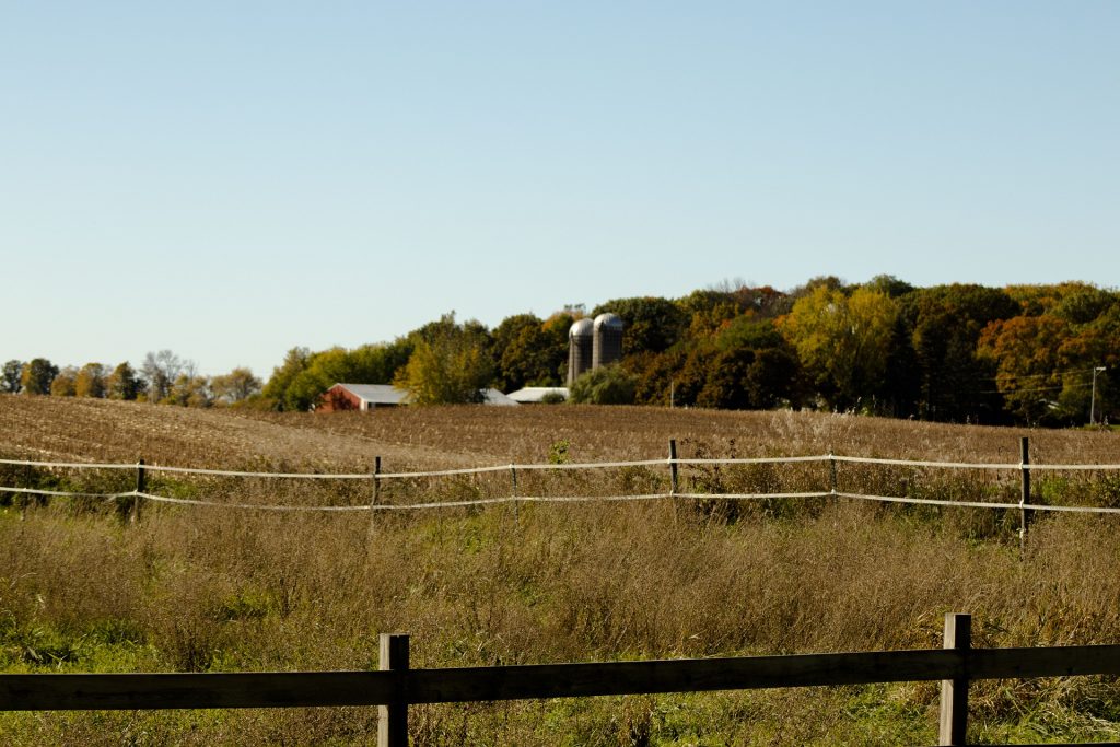
Demarcation is the procedure that legally establishes boundaries between properties. This can be carried out of court or it can be imposed by the courts in case of owner disputes.
Boundary survey determines and accurately portray boundary locations, building locations, physical features and other items of spatial importance. A land survey plan is an important legal document that displays the exact legal borders of the property and applicable aspects of the registered.
Demarcation is one the most important aspect of the Land Survey. We offer Demarcation Bondary surveys for the following scenarios:
- Property Sub-Division
- Adverse Possession of land/property
- First Registration of a property
- Boundary Setting Out/Fence for construction
- Initial Demarcation / Redemarcation / Final Demarcations
- Lease Plans
- Boundary dispute resolutions
Importance of Demarcation and Boundary Surveys
A demarcation survey is a legal procedure of establishing boundaries between properties. Demarcation and boundary surveys are required to define the extent of property ownership. It is the process to fix the plot boundary and corners on the ground prior to commencing construction. This type of survey involves both record and field research, including any measurements and computations needed to set the boundary lines in accordance with applicable state laws. A boundary survey may also involve locating easement lines and encroachments.
Steps involved in Demarcation and Boundary Surveys
- Measurement, marking, and mapping of the boundary lines of land ownership.
- Scrutinizing the historical records of the purchased property as well as the lands around it.
- Fieldwork starts and involves the establishment of a control network of known crossing points.
- These points are used for the search and location of existing construction and other boundary evidence.
- The results of the fieldwork will be compared to the research, and the surveyor will then reconcile all the information to conclude the limits.
- The surveyor will finally produce a plan and produce a legal description and report.
- The final survey report will show a plan of the property, written descriptions of any buildings, and a report defining the boundaries and explaining the judgment.
- Boundaries marked will depend on prior contracts between the buyer and the professional land surveyor. It may be wooden posts, pipes, marked trees, or monuments in concrete.
Who pays for Boundary Surveys?
It can be paid by a buyer or seller of a property depending on who wants a boundary survey.
Tools Used for Boundary Surveys:
- DGPS (Differential Global Positioning System)
- ETS(Electronic Total Stations)